A military bunker located near Hanstholm, Denmark. The site is part of the extensive Atlantic Wall fortifications built during World War II along the Danish coast. Hanstholm was a strategically important location due to its position controlling access to the Skagerrak strait.
L411A
-
Military Bunker
Unknown
Gallery
Description
Location on Map
Nearby Locations
Unnamed Denmark 0 km away
V174 Denmark 0 km away
Unnamed Denmark 0 km away
BP 13 - Stp FuMG Denmark 0 km away
Bunker near Hirtshals Denmark 0 km away
622 Denmark 0 km away
Unnamed Denmark 0 km away
Unnamed Denmark 0 km away
Unnamed Denmark 0 km away
Unnamed Denmark 0 km away
M151 Denmark 0 km away
Unnamed Denmark 0 km away
Data Sheet
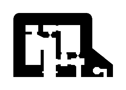
model Number L411A
german Name Unterstand für Flakscheinwerfer 60 cm
english Name Bunker for 60cm AA searchlight
concrete M3 680
wall Thickness B
function Machinery bunkers and searchlight garages
dimensions [object Object]
materials [object Object]
design Release Q1 1942
total Built 45
build_year 1942
type Regelbau
Sources
Access check_circle Unknown
Is this location still here?
Help keep the map accurate by voting if this location still exists or has been destroyed.