12/09/1940 Roadblock. At the entrance to the camp where road crossed by anti-tank ditch. Documentary source. Cassini grid ref. 565614. 10/1940 Roadblock. Plotted from German AP. 07/06/1946 Roadblock consisting of 10 concrete cubes either side of road (from road to ends of anti-tank ditch) at camp entrance. Plotted from aerial photograph. Some of the cubes survived until the 1980s when they were removed to create the Muckleburgh Collection museum.
Anti Tank Block
🇬🇧 United Kingdom·Added by @bunkeratlas
Other
Unknown
Gallery

Photo by Ian Capper via Wikimedia

Photo by Ian Capper via Wikimedia
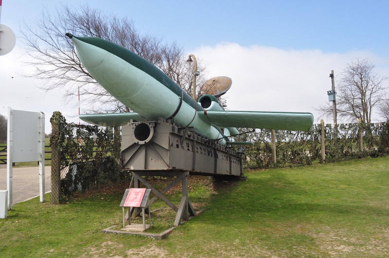
Photo by Ashley Dace via Wikimedia

Photo by Ashley Dace via Wikimedia

Photo by Ashley Dace via Wikimedia

Photo by Ashley Dace via Wikimedia

Photo by Ashley Dace via Wikimedia

Photo by Ashley Dace via Wikimedia
Description
This research is automated and may contain errors.
Edit Location
Sign in to edit this location.
Location on Map
Discussion
No comments yet. Be the first!
Nearby Locations
Other mapped sites in the surrounding area.
Spigot Mortar EmplacementUnited Kingdom
0 kmID 6331222055View
Spigot Mortar EmplacementUnited Kingdom
0 kmID 4159601212View
AirfieldUnited Kingdom
0 kmID 1954228711View
PillboxUnited Kingdom
0 kmID 7067264966View
Machine Gun PostUnited Kingdom
1 kmID 3915382208View
MinefieldUnited Kingdom
1 kmID 2738249512View
Haa BatteryUnited Kingdom
1 kmID 3126770677View
Haa BatteryUnited Kingdom
1 kmID 4519823206View
MinefieldUnited Kingdom
1 kmID 4131908110View
Pillbox 347324541United Kingdom
1 kmID 4999967449View
Pillbox (type Fw3/22)United Kingdom
1 kmID 4284307679View
Artillery Observation PostUnited Kingdom
1 kmID 2073556048View
Keywords
Anti Tank BlockAt Weybourne army camp, now site of Muckleburgh Museum.OtherUnknownRemovedBunkerAtlashistorical bunkermilitary heritage