
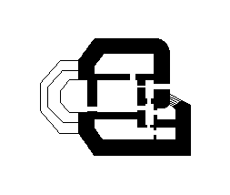
Bunker 636SK was a military fortification located in the Netherlands, part of the country's extensive defensive network. The designation 'zerst.' indicates that this structure was destroyed, likely during or after World War II. Dutch bunkers from this era were typically constructed as part of the Atlantic Wall defenses or local fortification systems to protect against potential invasions.
636SK (zerst.)
🇳🇱 Netherlands·Added by @bunkeratlas
Unknown
Military Bunker
Gallery
Description
This research is automated and may contain errors.
Edit Location
Sign in to edit this location.
Location on Map
Discussion
No comments yet. Be the first!
Nearby Locations
Other mapped sites in the surrounding area.
SK M170-656Netherlands
0 kmID 289266165521View
Bunkers 240500183Netherlands
0 kmID 3929819441View
Bunkers relation 3225125Netherlands
0 kmID 3403247989View
Bunkers 237997527Netherlands
0 kmID 3156840523View
Bunkers 246241113Netherlands
0 kmID 1010874323View
Bunkers 237998179Netherlands
0 kmID 2870647572View
Bunkers 237870985Netherlands
0 kmID 7161057495View
Vf WasserNetherlands
0 kmID 249792826054View
Bunkers 237998178Netherlands
0 kmID 9496349555View
635Netherlands
0 kmID 988987513990View
644Netherlands
0 kmID 378807615361View
BP 73 - WN 73Netherlands
0 kmID 775427540008View
Keywords
636SK (zerst.)OtherUnknownMilitary BunkerBunkerAtlashistorical bunkermilitary heritage