
Perched on the rugged limestone cliffs overlooking the Mediterranean Sea, within the dramatic calanques (inlets) near Marseille, France, lies a discreet and weathered military bunker. Its precise coordinates place it within the protected expanse of the Calanques National Park, a landscape celebrated for its breathtaking geological formations, turquoise waters, and rich biodiversity. This structure is not a widely documented or officially interpreted historical site; rather, it is a silent testament to the region's strategic military history, primarily shaped by the global conflict of the Second World War and subsequent decades of defense planning.
The bunker exists in a state of ambiguous heritage, simultaneously a part of the natural environment and a relic of human conflict, its specific origins and purpose clouded by the passage of time and a lack of comprehensive archival public access for this exact location. The strategic logic for fortifying this specific stretch of the French Mediterranean coast is undeniable. The coastline between Marseille and the nearby port of Toulon was, and remains, a critical naval and commercial artery.
During the Second World War, following the Allied invasion of North Africa (Operation Torch) in November 1942, German forces rapidly occupied the previously unoccupied "Zone Sud" of Vichy France. This occupation was driven by the urgent need to prevent an Allied invasion of the French mainland and to protect vital supply lines and naval assets. The German Organisation Todt and military engineers embarked on a massive program to fortify the Atlantic and Mediterranean coasts, creating the Atlantikwall.
While the most famous fortifications are along the Normandy and Pas-de-Calais coasts, significant resources were also dedicated to the Mediterranean littoral, known as the Mittelmeerwall or Southern Fortifications. This region, with its deep-water ports like Marseille and Toulon, was considered a high-priority defensive sector. The bunker's position offers an unparalleled field of view over the sea approaches to the Marseille harbor, making it an ideal location for an observation post, a coastal artillery spotting station, or a defensive strongpoint designed to contest any amphibious landing.
Architecturally, the bunker exhibits characteristics consistent with German military engineering of the period, though a definitive Regelbau (standardized design) classification cannot be confirmed without on-site survey or specific archival records for this coordinate. It is likely constructed from reinforced concrete (Beton), with thick, sloped walls designed to deflect naval artillery and aerial bombardment. Typical features of such coastal fortifications include narrow embrasures for machine guns or small-caliber anti-tank guns, ventilation shafts, and a robust entrance protected by a blast wall.
The structure has been heavily impacted by its environment. Salt spray, harsh Mediterranean sun, and the relentless expansion of native vegetation—particularly hardy shrubs and trees whose roots pry at concrete—have contributed to its gradual decay. Parts of the complex may be partially buried or obscured by rockfalls and soil accumulation, a common fate for cliffside installations in this geologically active calanque region.
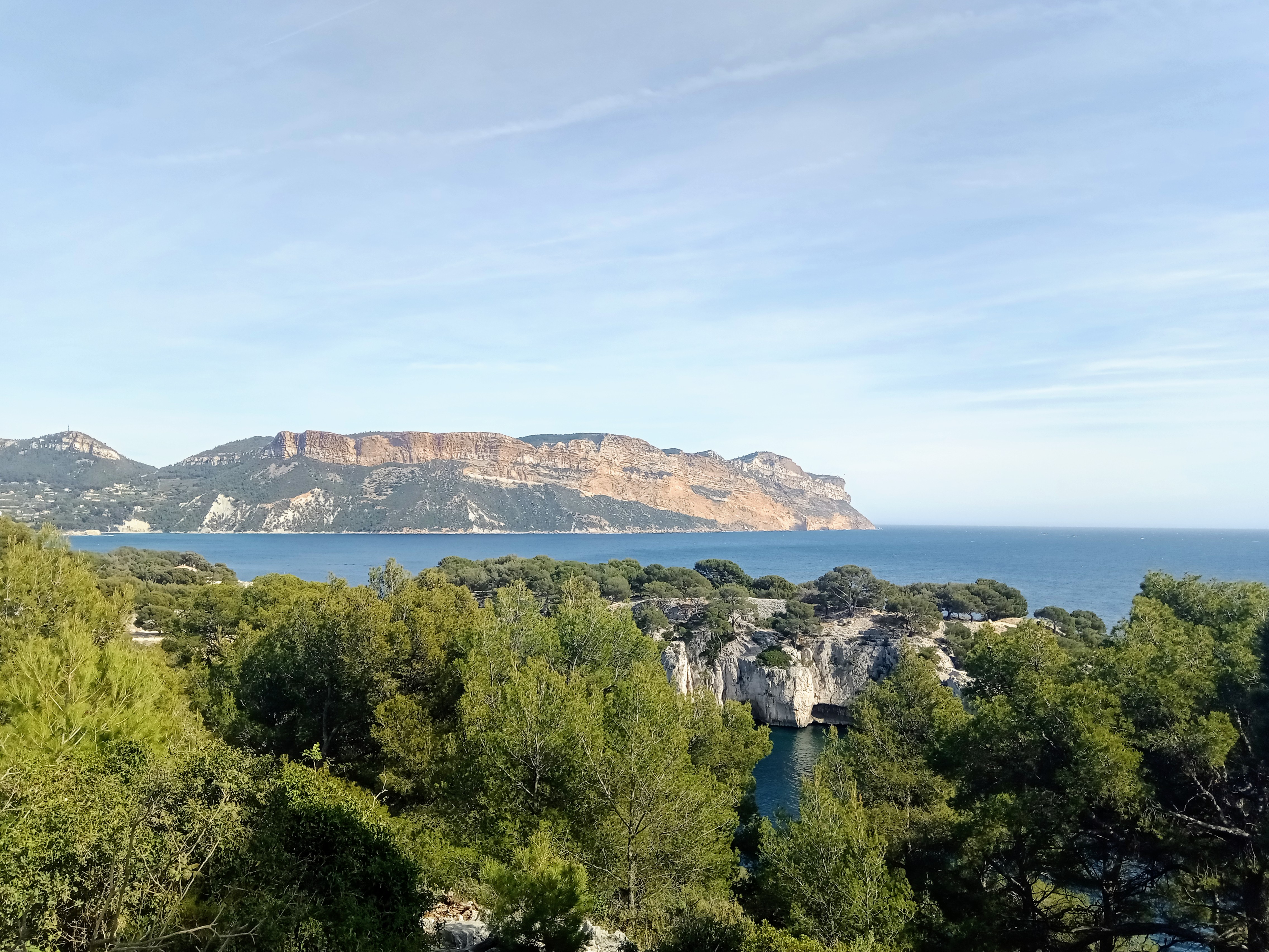
Its current state is one of slow reclamation by nature, with graffiti and modern litter often found inside, marking it as a destination for local explorers and hikers. The geographic setting is integral to its story. The Calanques National Park, established in 2012, encompasses a 20-kilometer stretch of coastline from Marseille to Cassis.
This is not a gentle sandy beach but a dramatic, fjord-like landscape of sheer white limestone cliffs, hidden coves, and deep, narrow inlets carved by ancient rivers and further shaped by sea erosion. The terrain is so rugged that much of the park is accessible only by sea or by steep, challenging hiking trails. This very inaccessibility was part of its original military appeal, providing natural camouflage and defense.
The bunker is not an isolated anomaly; the broader region is peppered with similar wartime relics. Nearby, on the heights above Marseille, one can find remnants of the Grossdeutschland division's positions and other coastal defense elements. The strategic importance of the area did not end with WWII; during the Cold War, the French military maintained a significant presence in the region, with the Marseille and Toulon areas serving as key nodes for nuclear deterrence and naval power projection.
While no evidence links this specific bunker to Cold War nuclear facilities, its location within a broader military training zone until recent decades explains its preservation in a semi-wild state. Today, the bunker's status is that of an unverified, non-monumented historical feature. It is not listed in official French military heritage registers (Mémoire des Hommes), nor is it managed or interpreted by the Calanques National Park authorities as a specific historical site.
This lack of official recognition contributes to its "unverified" status in a heritage cataloging context. Its existence is known anecdotally to hikers, climbers, and urban explorers who frequent the trails of the Calanques, such as the popular Sentier du Douanier (Customs Officer's Path) or the routes leading to the Calanque de Sormiou or Calanque de Morgion. For these visitors, the bunker is a poignant, often photogenic stop—a concrete scar on the pristine landscape that sparks questions about the past.
Its preservation is accidental, owed to the difficulty of access and the protective legal framework of the national park, which prevents demolition or commercial development but does not actively conserve the structure. The heritage and visitor relevance of this site is complex and primarily local. It is a powerful, tangible link to the dramatic history of Southern France during WWII—a history of occupation, resistance, and liberation.
The presence of such bunkers transforms a beautiful natural hike into a journey through layered history. For scholars of the Atlantikwall and Mediterranean coastal defenses, sites like this, even if undocumented, represent crucial pieces of a vast defensive network. They offer opportunities for comparative study of construction techniques, siting strategies, and the environmental impact of military infrastructure.
For the general public and tourists, the bunker serves as a evocative reminder that the idyllic landscapes of the French Riviera were once a contested military frontier. It raises themes of memory, the ethics of preserving sites of conflict in areas of natural beauty, and the often-overlooked story of the German fortification efforts south of the Alps. Discoverability for such a site is inherently low, as it lacks a formal name, signage, or inclusion in mainstream tourist guides.
Its "findability" relies on word-of-mouth, specialized hiking blogs, or historical forums focused on WWII fortifications in Provence. Enhancing its discoverability in a heritage context would involve precisely this approach: associating it with the powerful geographic brand of the "Calanques de Marseille," linking it to the well-documented history of the Mittelmeerwall, and connecting it to the outdoor activity hubs of Marseille and Cassis.
It is a site best understood not as a standalone monument, but as one element in the vast, rugged, and historically charged tapestry of the Mediterranean coast during the world's most significant modern conflict. In summary, this military bunker near Marseille is a physically present but historically opaque structure. Its location within the Calanques National Park provides it with a measure of protection and a stunning natural context, but also isolates it from formal heritage recognition.
Its probable origin in the German coastal defense program of 1942-1944 is the most historically consistent narrative for its type and location, though this remains an inference based on regional patterns rather than site-specific evidence. It stands as a silent, concrete witness to a time when this serene Mediterranean inlet was viewed through the lens of warfare and invasion, its ultimate historical meaning left for the hiker who stumbles upon it to ponder amidst the cypress trees and the sound of the waves.