The M170 bunker, also known as M170 (zerst.), is a military structure located in the Pyrenees-Atlantiques department of southwestern France. This bunker is part of the extensive network of fortifications constructed during the Cold War to protect France's strategic interests and deter potential threats. The M170 bunker was likely built as part of the French Armed Forces' efforts to enhance the country's defensive capabilities, particularly in response to the geopolitical tensions of the era.
The bunker is situated near the town of Saint-Palais, in the historical Basque Country region, an area with a rich military history and strategic significance due to its proximity to the Spanish border. The M170 bunker is one of many such structures that dot the French landscape, serving as a testament to the country's commitment to national defense and security during the Cold War. Today, the bunker stands as a silent witness to the past, offering insights into the military architecture and strategic planning of the Cold War era.
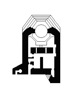
The bunker's design and construction reflect the engineering prowess and defensive strategies employed by the French military during this period. The M170 bunker is an important site for those interested in military history and urbex, providing a unique opportunity to explore the remnants of France's Cold War fortifications.