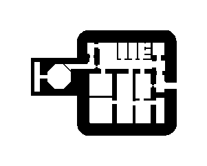
A military structure located near Pluméliau, Brittany, France. The specific designation 'FL244SK' suggests a possible French military grid reference, but its exact type, construction period, and historical role are not confirmed by available sources. The region saw fortification during both World War II and the Cold War, but without site-specific data, its purpose cannot be verified.
FL244SK
🇫🇷 France·Added by @bunkeratlas
Unknown
Other
Gallery
Description
This research is automated and may contain errors.
Edit Location
Sign in to edit this location.
Location on Map
Discussion
No comments yet. Be the first!
Nearby Locations
Other mapped sites in the surrounding area.
FL243aFrance
0 kmID 3175272128View
Bauform 58c "Tobruk"France
0 kmID 8288520171View
FL243aFrance
0 kmID 7111540498View
Bauform 58c "Tobruk"France
0 kmID 1292744675View
FL243aFrance
0 kmID 0153130946View
FL229France
0 kmID 3307124729View
OB FuMGFrance
0 kmID 5602757100View
FL243aFrance
0 kmID 9292013299View
FL243aFrance
0 kmID 0564423812View
FL243aFrance
0 kmID 9627844496View
OB 2cm FlakFrance
0 kmID 8115561004View
Lo 302France
0 kmID 0180831402View
Keywords
FL244SKOtherUnknownBunkerAtlashistorical bunkermilitary heritage