L411 is a military bunker located in Denmark, situated at coordinates 57.1086267392327, 8.646622348317294. The structure forms part of Denmark's coastal defense network, designed to protect against potential naval threats during periods of heightened military tension. Its strategic positioning along the Danish coastline reflects the country's historical focus on maritime defense and territorial security.
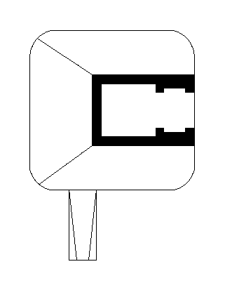
L411
🇩🇰 Denmark·Added by @bunkeratlas
Unknown
Military Bunker
Gallery
Description
This research is automated and may contain errors.
Edit Location
Sign in to edit this location.
Location on Map
Discussion
No comments yet. Be the first!
Nearby Locations
Other mapped sites in the surrounding area.
Bunkers 212749944Denmark
0 kmID 3206639473View
Trenches 1291546964Denmark
0 kmID 9969824633View
Ankerblock FuMG See-ElefantDenmark
0 kmID 8471916809View
Bunkers 212749945Denmark
0 kmID 7344743661View
L413Denmark
0 kmID 0462677626View
Ankerblock FuMG See-ElefantDenmark
0 kmID 7776134408View
BP 27 - Stp HamborgDenmark
0 kmID 8046083028View
622Denmark
0 kmID 2178932612View
UnnamedDenmark
0 kmID 3193878873View
Bunkers 212751100Denmark
0 kmID 5340968124View
Ankerblock FuMG See-ElefantDenmark
0 kmID 1377181139View
Ankerblock FuMG See-ElefantDenmark
0 kmID 5179271867View
Keywords
L411OtherUnknownMilitary BunkerBunkerAtlashistorical bunkermilitary heritage