

The Zugang HGS (i) bunker is a military fortification situated in the rugged terrain of the Ligurian Apennines, Italy, at the precise coordinates 44.39022350005352, 9.019422637450969. This location places it within the mountainous hinterland to the north of the major port city of Genoa, specifically in the area of the Val Bisagno valley system. The designation 'Zugang HGS (i)' is highly suggestive of German military engineering terminology from the Second World War. 'Zugang' translates to 'access' or 'entrance' in German, while 'HGS' is a recognized abbreviation within the German fortification classification system, often standing for 'Hauptkampfstellung' or 'Hauptgefreiter Stellung' (Main Battle Position), though it could also refer to specific unit or construction bureau codes.
The '(i)' likely denotes a specific variant, sub-type, or construction index within a standardized series. This naming convention strongly implies the structure is a product of the German Organisation Todt (OT) or Wehrmacht engineers, built during the German occupation of northern and central Italy following the 1943 armistice. The historical context for this bunker is the German defensive strategy in Italy during 1944-1945.
After the Allied invasion of mainland Italy and the collapse of the Fascist regime, German forces retreated to a series of formidable defensive lines stretching across the Italian peninsula. The most famous of these is the Gustav Line, which anchored on Monte Cassino. However, further north, as the Allies pushed up the Italian boot, the Germans constructed the Gothic Line (Linea Gotica) and its subsidiary positions across the Apennines.
The primary aim of these defenses was to delay the Allied advance, inflicting maximum casualties while preserving German forces for redeployment to other fronts. The Ligurian Apennines, forming a natural barrier between the Tyrrhenian Sea coast (with its vital ports like Genoa and La Spezia) and the Po Valley, was a critical sector of this defensive network. Controlling these mountain passes and ridges was essential to protect the industrial heartland of northern Italy and the supply routes to the German forces there.
Strategically, a bunker designated as an 'access' or 'HGS' point would have served a specific tactical function within this grand defensive scheme. It was likely not a large, self-contained fortress like an ' ouvrage ' but a smaller, integrated component of a layered defense. Its probable role was to guard a key approach route—a mountain road, a mule track, a ridge line, or a supply trail—leading to a more significant strongpoint or artillery position.
It may have housed a machine gun or anti-tank rifle team, providing interlocking fields of fire to channel and destroy attacking infantry or light vehicles. Alternatively, it could have been an access point to a larger underground command post, ammunition cache, or troop shelter complex carved into the mountainside. The 'HGS' classification suggests it was part of the main line of resistance, not a forward outpost, indicating it was built to withstand sustained artillery fire and direct assault.
The construction would have followed standard German Regelbau (standardized construction) principles where possible, using reinforced concrete, steel, and earth to create a durable, camouflaged emplacement. Architecturally and from an engineering perspective, the bunker would exemplify the pragmatic, fortress-building ethos of the German military engineers. Given its mountainous environment, construction would have been challenging, requiring blasting and excavation into rock as much as above-ground concrete pouring.
We can infer it likely features thick, sloped walls and a low profile to deflect shells and bombs. Key elements would include a main embrasure or loophole for its primary weapon, an entrance protected by a thick door and often a dog-leg or maze-like entranceway to prevent blast penetration, and internal spaces for the crew, ammunition storage, and command. Ventilation shafts, often disguised as rocks or cairns, would be critical in the confined space.
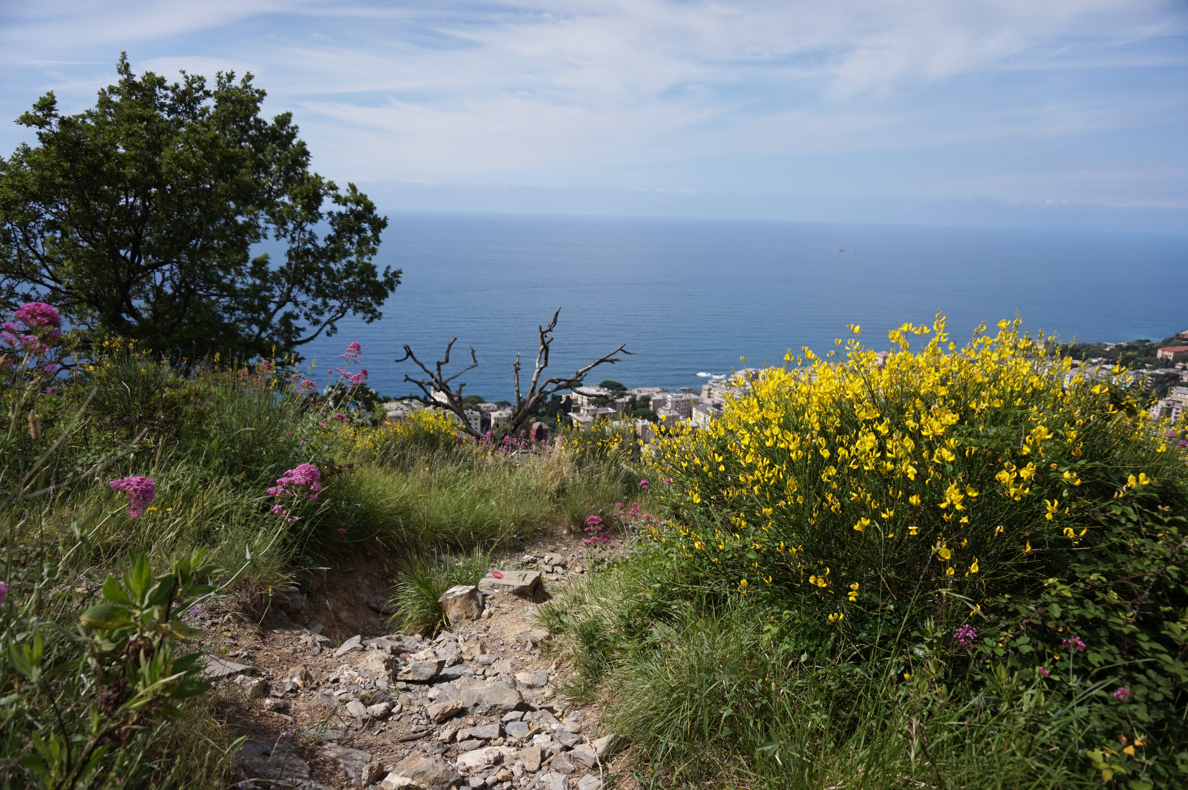
The bunker's survival today depends heavily on the quality of its original concrete, the local climate (the Ligurian Apennines experience significant rainfall and freeze-thaw cycles), and post-war human activity—whether it was stripped for scrap, deliberately demolished, or simply abandoned to the elements and vegetation. Geographically, the site's coordinates place it in a landscape of steep slopes, dense mixed woodland (chestnut and beech), and rocky outcrops.
This is not the coastal tourist image of Italy but a harsh, interior frontier. The bunker would have been sited to dominate a specific tactical bottleneck. Nearby, one might find the remnants of trench lines, communication trenches, other smaller pillboxes, and possibly the foundations for heavier artillery positions.
The proximity to Genoa made this sector vital; if the Allies broke through here, they could descend upon the city and its crucial port, a primary target for strategic bombing. The bunker, therefore, was a small cog in a vast machine designed to turn the entire mountain range into a fortress. The natural geography was the first line of defense, and structures like this were the force multipliers built into it.
In its present condition, the Zugang HGS (i) bunker exists in a state of limbo between historical artifact and decaying ruin. Without specific, on-the-ground verification from the provided search results, its exact state is unconfirmed. However, based on the fate of thousands of similar Italian theater bunkers, several scenarios are likely.
It may be partially collapsed, its concrete spalled and rebar exposed. It could be completely overgrown and inaccessible, swallowed by brambles and saplings. Alternatively, it might be relatively intact but stripped of all internal fittings—doors, metal fixtures, and any remaining ordnance long since removed by scrap hunters or military clearance units.
Graffiti from modern visitors is a common addition. Its structural integrity is questionable; water infiltration through cracks can cause internal erosion, and the weight of soil and vegetation can stress weakened roofs. Access would be difficult, requiring off-trail hiking through dense undergrowth, and the interior, if enterable, would be dark, damp, and potentially hazardous.
From a heritage and visitor perspective, this bunker represents a poignant, tangible link to a brutal and often overlooked chapter of the Italian Campaign. While the battles of Anzio and Monte Cassino are widely known, the grueling, mountainous warfare of the Gothic Line campaign receives less public attention. Sites like this allow for a micro-historical understanding of the soldier's experience—the claustrophobia, the damp, the constant tension of waiting in a concrete hole for an attack.
For military heritage tourists, historians, and photographers, such isolated bunkers offer a raw, unmediated encounter with the past, far from the polished museums of major battlefields. The challenge is one of discovery and interpretation. Its value lies in its authenticity and its silence.
Visiting requires preparation, respect for the site's solemn nature, and an understanding that one is treading on a place of former violence. Preservation is an issue; without official recognition or protection, these structures continue to deteriorate, slowly being reclaimed by the very mountains they were built to defend. The bunker stands as a mute testament to the desperate German effort to hold the Italian peninsula and the relentless Allied push that ultimately broke through, shaping the final phase of the war in Europe.