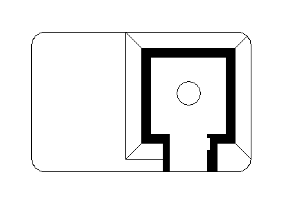
A military bunker located near Saint-Valery-en-Caux, France. The site is situated along the French coastline in Normandy, an area historically significant for its military installations. During World War II, this region saw extensive fortification efforts by occupying forces.
L410
🇫🇷 France·Added by @bunkeratlas
Military Bunker
Unknown
Gallery
Description
Edit Location
Sign in to edit this location.
Location on Map
Discussion
No comments yet. Be the first!
Nearby Locations
Other mapped sites in the surrounding area.
Sockel WRFrance
0 kmID 9841512950View
L419France
0 kmID 8174246233View
Bauform 58c "Tobruk"France
0 kmID 7881726316View
501France
0 kmID 4832465610View
SperreFrance
0 kmID 7711544361View
Bauform 58c "Tobruk"France
0 kmID 3938345374View
L413France
0 kmID 5702161079View
L419France
0 kmID 2001222943View
FuMG AuerhahnFrance
0 kmID 0878799374View
502France
0 kmID 9942569084View
656France
0 kmID 5547966819View
Splitterschutz FuMG FreyaFrance
0 kmID 7900665368View
Keywords
L410Military BunkerUnknownBunkerAtlashistorical bunkermilitary heritage