12/10/1940 Roadblock, consisting of concrete blocks and a 14ft gap closed by horizontal bar between blocks. 12/10/1940 Concrete roadblock, with a 14ft wide gap closed by sockets and horizontal bars. Cassini ref. 074415 (also given as 072414).
Anti Tank Horizontal Rail
🇬🇧 United Kingdom·Added by @bunkeratlas
Other
Unknown
Gallery

Photo by Mick Garratt via Wikimedia

Photo by Mick Garratt via Wikimedia
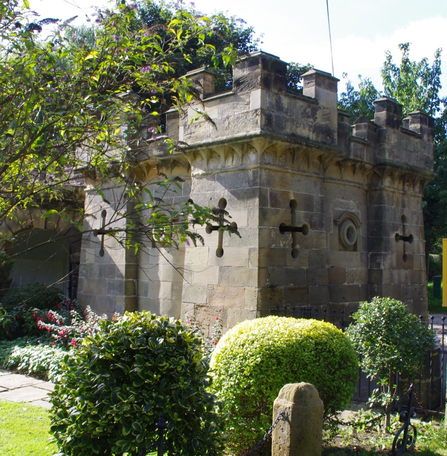
Photo by Simon Armstrong via Wikimedia

Photo by Simon Armstrong via Wikimedia

Photo by Simon Armstrong via Wikimedia

Photo by Simon Armstrong via Wikimedia

Photo by Gordon Hatton via Wikimedia

Photo by Gordon Hatton via Wikimedia

Photo by habiloid via Wikimedia
Description
This research is automated and may contain errors.
Edit Location
Sign in to edit this location.
Location on Map
Discussion
No comments yet. Be the first!
Nearby Locations
Other mapped sites in the surrounding area.
Canadian Pipe MineUnited Kingdom
0 kmID 7462647372View
PillboxUnited Kingdom
0 kmID 5553182927View
Anti Tank Horizontal RailUnited Kingdom
0 kmID 4966925780View
MinefieldUnited Kingdom
0 kmID 5164011327View
Laa BatteryUnited Kingdom
0 kmID 6304182707View
Laa BatteryUnited Kingdom
0 kmID 8638345766View
Machine Gun PostUnited Kingdom
0 kmID 9241906592View
Laa BatteryUnited Kingdom
0 kmID 8447285947View
MinefieldUnited Kingdom
1 kmID 3444049478View
Anti Tank Vertical RailUnited Kingdom
1 kmID 2373928616View
PillboxUnited Kingdom
1 kmID 7770351307View
Anti Tank Horizontal RailUnited Kingdom
1 kmID 8047572871View
Keywords
Anti Tank Horizontal RailAcross road on W side of wall turret and Turners Hospital, KirkleathamOtherUnknownRemovedBunkerAtlashistorical bunkermilitary heritage