
1999 Two trenches were dug at this Location by the Royal West Kents, to cover the approaches to the Admiralty Signals Station and Flight Refuelling from the W. The site has been developed for housing.
Trench
🇬🇧 United Kingdom·Added by @bunkeratlas
Trenches
Unknown
Gallery

Photo by Philip Halling via Wikimedia

Photo by Bob Embleton via Wikimedia

Photo by Mike Dodman via Wikimedia
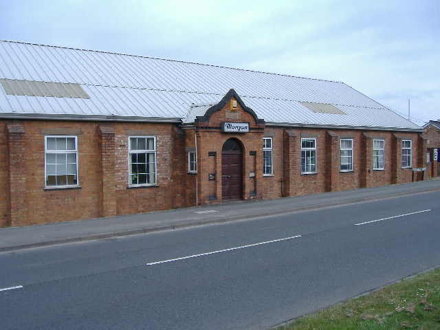
Photo by James Pratt via Wikimedia

Photo by James Pratt via Wikimedia

Photo by David P Howard via Wikimedia

Photo by David P Howard via Wikimedia
Description
This research is automated and may contain errors.
Edit Location
Sign in to edit this location.
Location on Map
Discussion
No comments yet. Be the first!
Nearby Locations
Other mapped sites in the surrounding area.
TrenchUnited Kingdom
0 kmID 6841057521View
TrenchUnited Kingdom
0 kmID 4313481280View
PillboxUnited Kingdom
0 kmID 4391344272View
TrenchUnited Kingdom
0 kmID 4881453775View
PillboxUnited Kingdom
0 kmID 6632980564View
PillboxUnited Kingdom
0 kmID 2939891488View
TrenchUnited Kingdom
0 kmID 7523618290View
Home Guard HeadquartersUnited Kingdom
1 kmID 7031671826View
Home Guard HeadquartersUnited Kingdom
1 kmID 8004405151View
PillboxUnited Kingdom
1 kmID 7736963091View
Home Guard HeadquartersUnited Kingdom
1 kmID 8789424481View
Home Guard HeadquartersUnited Kingdom
2 kmID 5504442079View
Keywords
TrenchOn the N side of Pickersleigh Road about 150ft to the W of the junction with Pickersleigh Avenue, MaTrenchesUnknownRemovedBunkerAtlashistorical bunkermilitary heritage