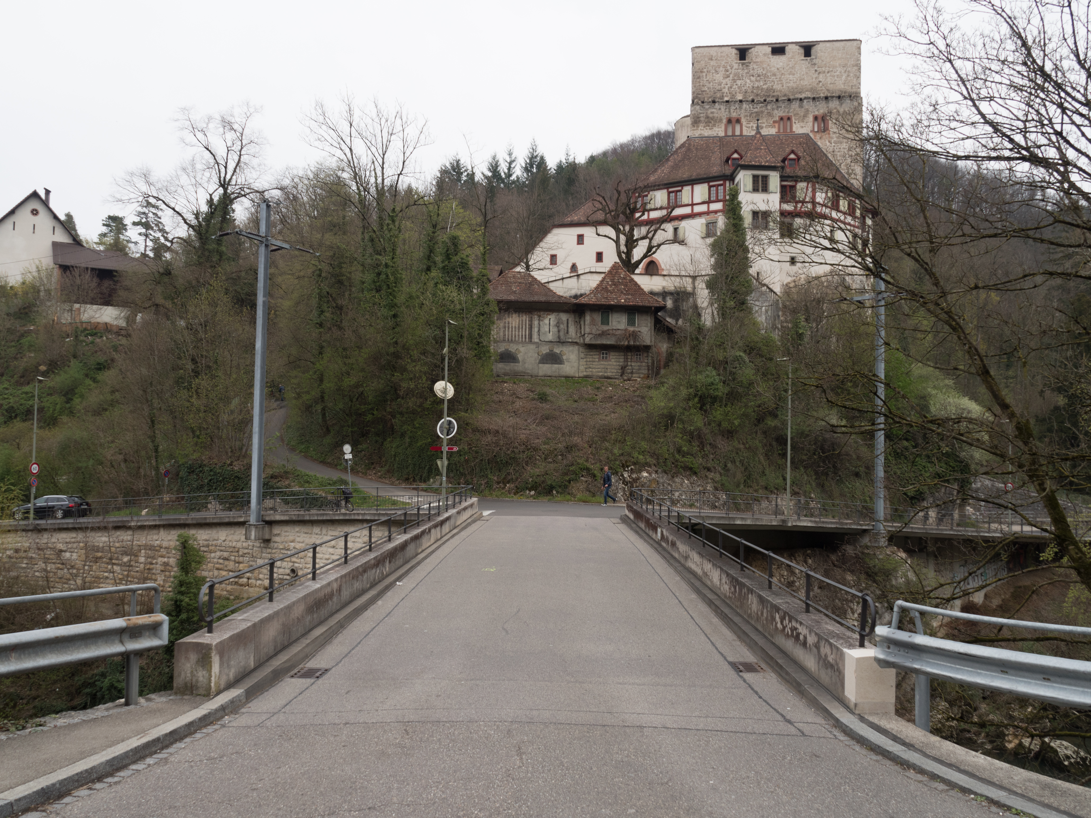
Nestled within the rolling hills and dense forests of the Basel-Landschaft canton in northwestern Switzerland, a discreet military bunker stands as a silent testament to the nation's enduring policy of armed neutrality and its profound commitment to territorial defense. Its precise coordinates place it in the immediate vicinity of the medieval Schloss Angenstein, a historic castle that commands a strategic position overlooking the Birs river valley near the town of Aesch.
This region, characterized by a mosaic of agricultural fields, woodlands, and the prominent Blauen mountain ridge, has long been considered a critical sector for the control of access into the Swiss plateau from the north and west. The bunker itself is not an isolated relic but a component of a much larger, integrated system of fortifications designed to protect the heartland of Switzerland during the tumultuous 20th century, particularly the Cold War period.
Understanding its context requires examining the evolution of Swiss defensive doctrine, which shifted from a focus on static border defense to the creation of a flexible, in-depth national redoubt capable of withstanding a prolonged assault or invasion. The strategic rationale for fortifying the Basel-Landschaft area is deeply rooted in geography and history. The canton forms a natural gateway between the Rhine river, a historic invasion route from France and Germany, and the more populous Swiss plateau cities of Basel, Bern, and Zurich.
The Birs valley, in particular, represents a corridor of significant military importance. During the planning phases of Switzerland's modern fortification programs, this area was identified as a likely axis of advance for any potential aggressor seeking to split the country or capture its industrial and political centers. Consequently, the Swiss Army developed a dense network of fortified positions, anti-tank barriers, and infantry strongpoints here, often integrating them seamlessly with the natural terrain.
The bunker near Schloss Angenstein would have been tasked with observing and controlling this valley, securing key road and rail links, and providing a resilient node in the communication and command grid for the region's defensive forces. Its placement suggests a role in covering the approaches to the larger fortified works on the Blauen and other nearby ridges, which formed part of the so-called 'Border Line' (Grenzlinie) and later the 'Army Line' (Armeelinie) fortifications.
Architecturally and engineering-wise, the structure exemplifies the pragmatic, robust design philosophy of Swiss military engineering from the mid-20th century. While specific construction details for this exact bunker are not publicly enumerated, it would conform to the standard 'Bunkertyp' (bunker type) designs developed by the Swiss Army's Engineering Corps. These typically feature thick reinforced concrete walls and ceilings, often 1.5 to 2.5 meters in thickness, designed to resist standard artillery and bunker-busting munitions of the era.
Access would be via a protected entrance, possibly with a gas-tight door and a labyrinthine anti-personnel defense arrangement. Internally, the bunker would have been subdivided into functional compartments: a crew quarters with basic sleeping and cooking facilities, a command or observation post equipped with periscopes and map tables, ammunition and equipment storage, and a defensive fighting position, likely for a machine gun or anti-tank weapon, with a carefully calculated field of fire covering the designated sector.
Ventilation, power (from a diesel generator and batteries), and communication systems (hardwired telephone lines to command posts) were essential, self-contained features. The construction method often involved pouring concrete in situ using wooden forms, resulting in a monolithic, fortress-like appearance that has allowed many of these structures to survive in a remarkably intact state. The geographic setting is integral to the bunker's historical function and current ambiance.
It resides on the northern slopes of the Jura mountains, where the landscape transitions from the flat Rhine valley to the more rugged pre-Alpine foothills. The proximity to Schloss Angenstein is not coincidental; high ground has always been prized for military observation. The castle itself, dating to the 12th-13th century, occupies a rocky outcrop, and the modern bunker would have been sited to complement this vantage point or to protect the castle's flank during a hypothetical 20th-century conflict.
The surrounding area is a patchwork of protected natural zones and agricultural land, part of the 'Baselbieter Weinland' (Basel-Country wine region), which adds a layer of cultural landscape to the military one. The bunker is thus embedded in a terrain rich with historical layers, from medieval fortification to Cold War defense, all overlooking a valley that has been a conduit for armies, trade, and ideas for centuries.
This setting provides a powerful, tangible connection to the strategic thinking that shaped Switzerland's territorial integrity. Today, the bunker's condition reflects the passage of time and the end of its original military purpose. Following the dissolution of the Swiss Army's static defensive lines after the Cold War and the subsequent reforms (Armee XXI), thousands of such bunkers were decommissioned, their equipment removed, and their entrances often sealed or left open.
Many have been repurposed—as storage for local authorities or private owners, as emergency shelters still maintained by civil defense, or have simply been left to the elements and to the slow, inevitable process of reclamation by nature. Without specific, recent on-site verification, its precise state remains unconfirmed: it may be a sealed concrete shell overgrown with ivy and moss, an accessible but empty concrete tube, or a maintained civil defense shelter.
Its survival, however, is a physical archive of a specific period in Swiss history when the threat of large-scale conventional warfare in Central Europe was a primary driver of national policy and infrastructure investment. The contrast between its grim, utilitarian purpose and the peaceful, cultivated landscape around it is stark and thought-provoking. The heritage and visitor relevance of such sites is a growing topic of interest in Switzerland and across Europe.
These bunkers are increasingly recognized as important elements of 20th-century military cultural heritage, representing a distinct architectural typology and a critical chapter in the story of modern Europe. For historians, they are primary sources for studying defense technology, military engineering, and Cold War strategy. For the public, they are evocative places that make abstract geopolitical tensions tangible.
In the Basel-Landschaft region, efforts to document and sometimes open such sites for guided tours or as part of local history trails are emerging, often spearheaded by historical societies or interested individuals. Visiting a bunker like this one offers a visceral experience of the claustrophobic conditions, the thick concrete walls, and the panoramic views from its observation slit, providing a direct link to the soldiers who would have manned these positions.
It transforms the landscape from a passive scene into an active text, readable for its defensive history. The nearby Schloss Angenstein, itself a museum and cultural venue, provides a perfect historical bookend, allowing visitors to contrast medieval and modern concepts of fortification and control over the same strategic terrain. In summary, the military bunker near Schloss Angenstein is a silent, concrete witness to Switzerland's 20th-century defensive ethos.
Born from the strategic imperative to protect the vulnerable plateau and the vital Rhine corridor, it was a functional node in a nationwide network that defined the nation's physical and psychological landscape during the Cold War. Its architecture is a lesson in functional, survivalist design, while its setting ties it to centuries of regional military history. Though its specific armament, crew complement, and exact build year remain unconfirmed in available data, its type is clearly a Swiss Army military bunker from the WWII/Cold War era.
Its current status, likely intact but decommissioned, makes it a subject of historical curiosity and a potential focal point for heritage tourism in the Basel-Landschaft canton. It stands not as a monument to aggression, but as a stark reminder of a period when peace was maintained, in part, through the credible threat of formidable defense, and where the landscape itself was reshaped in preparation for a war that, thankfully, never came to these peaceful Swiss hills.